ABM Engg. & Surveyors delivers high-accuracy land surveys and engineering services all across India - from DGPS to drone surveys and geotechnical investigations.
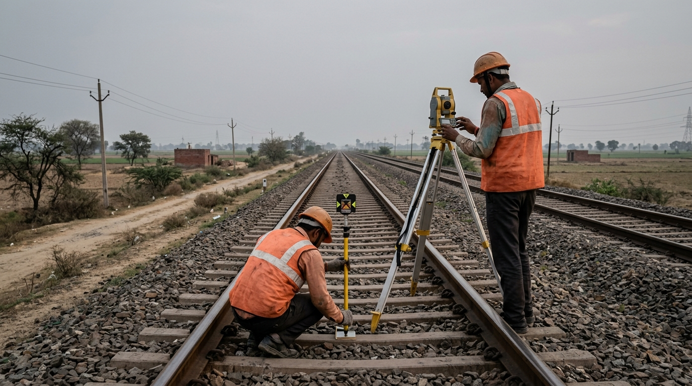
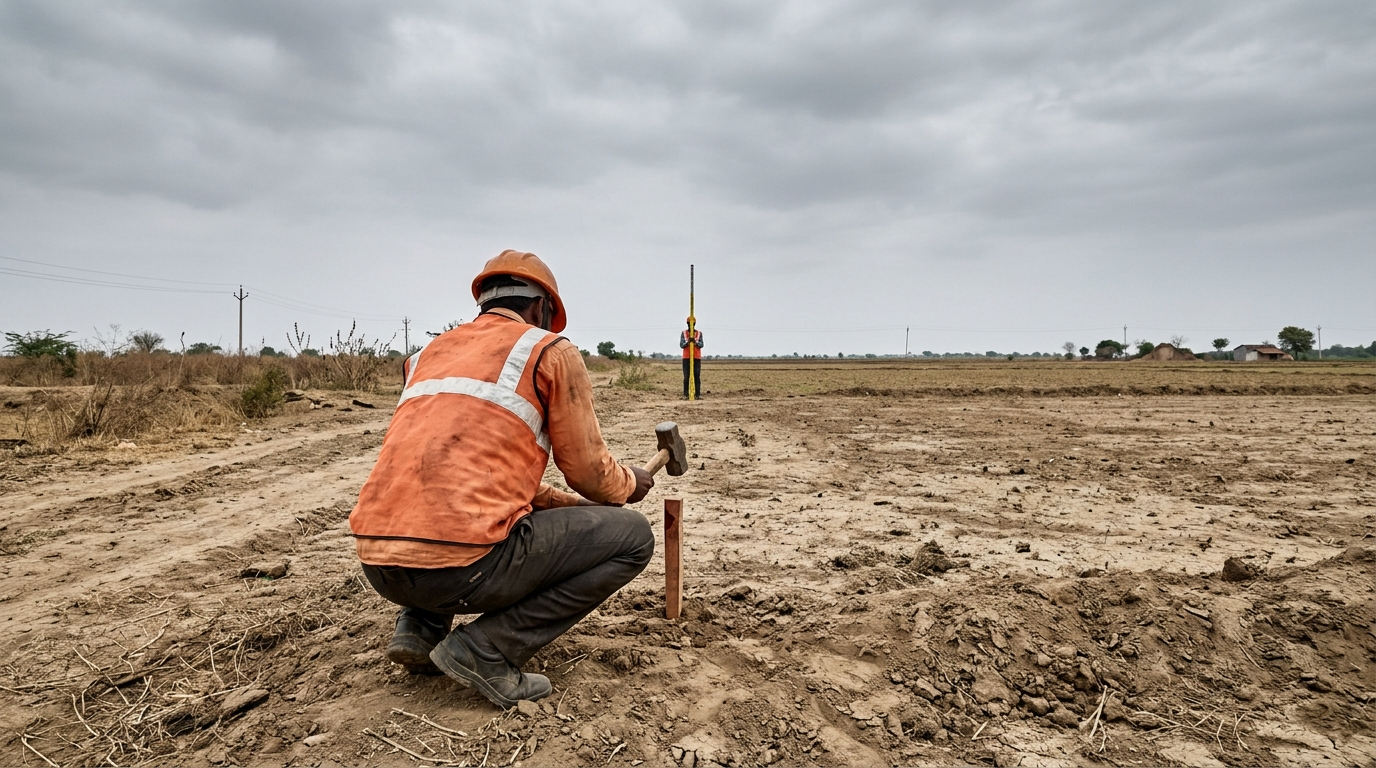
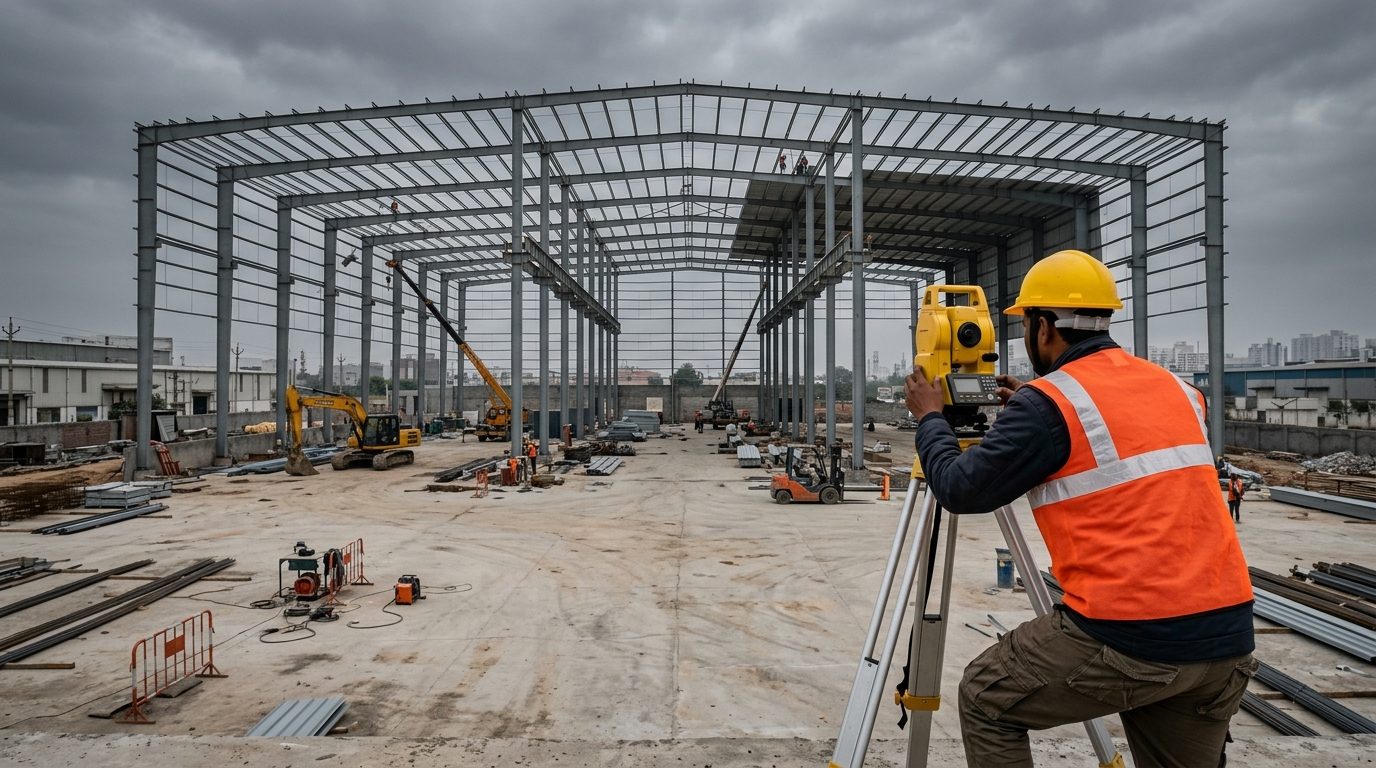
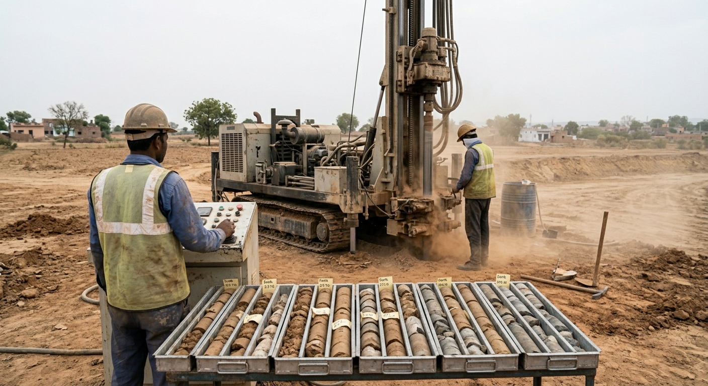
Founded in 2009 by S. Singh, ABM Engg. & Surveyors has built its reputation on one unwavering principle - precision counts. Over 15 years, we have delivered accurate, reliable survey data to clients across real estate, infrastructure, railways, and government sectors all across India.
From our offices in Gurugram, our experienced team deploys industry-leading instruments - DGPS receivers, total stations, and UAV drone platforms - to deliver results your engineers and planners can act on with confidence.
Explore Our Services
A selection of recent survey and engineering engagements all across India.
Every project we take on carries a weight of responsibility. A boundary wrongly marked, a contour line miscalculated, an alignment slightly off - the consequences can cascade through months of construction and millions of rupees. That is why at ABM, we do not cut corners.
Proprietor S. Singh personally oversees quality control on all major engagements. Our instruments are regularly calibrated. Our crew carries 15+ years of collective field experience all across India.
DGPS and total station surveys verified to ±1 cm positional accuracy on every engagement.
Every surveyor trained for diverse terrain - urban corridors, open farmland, industrial zones.
CAD drawings, GIS exports, and PDF reports structured for direct use by your design team.
End-to-end survey services for land, infrastructure, and engineering projects - delivered with precision.
High-accuracy digital land surveys using Differential GPS and electronic total stations. Ideal for large-area mapping, layout, and control point establishment across any terrain.
Enquire Now
Detailed mapping of natural and built features - terrain, roads, structures, water bodies, and vegetation - presented in formats ready for civil design and urban planning.
Enquire Now
Precision elevation mapping with contour lines at specified intervals. Essential for drainage planning, site grading, reservoir design, and road alignments.
Enquire Now
Precise on-ground marking of plot boundaries and building layouts in accordance with approved plans and revenue records. Accepted by DTCP, HRERA, and municipal authorities.
Enquire Now
UAV-based aerial survey for rapid, large-area data capture. Produces high-resolution orthomosaics, point clouds, and DTMs with survey-grade accuracy - safe, fast, and non-intrusive.
Enquire Now
Post-construction verification surveys confirming that structures are built to approved drawings. Delivered as annotated CAD plans for client records, handovers, and statutory submissions.
Enquire Now
Sub-surface investigation services including bore holes, soil sampling, and lab testing to characterise ground conditions for foundation design and civil engineering projects.
Enquire Now
Corridor surveys, alignment surveys, cross-sections, and longitudinal profiles for Indian Railways and metro projects - executed to RDSO standards with full documentation.
Enquire Now
Professionally prepared survey reports, AutoCAD drawings, cross-section sheets, and GIS-compatible datasets - formatted to your project's specification and delivered on time.
Enquire NowWith 15 years of field experience all across India, our team understands the specific demands of each sector we work in.
Tell us about your project and we'll respond within one business day with a no-obligation quote.
Speak directly with us for any survey or engineering requirement all across India.